
This is a preview of WP GPX Maps Pro, an add-on coming soon. The free plugin stays complete and keeps growing.
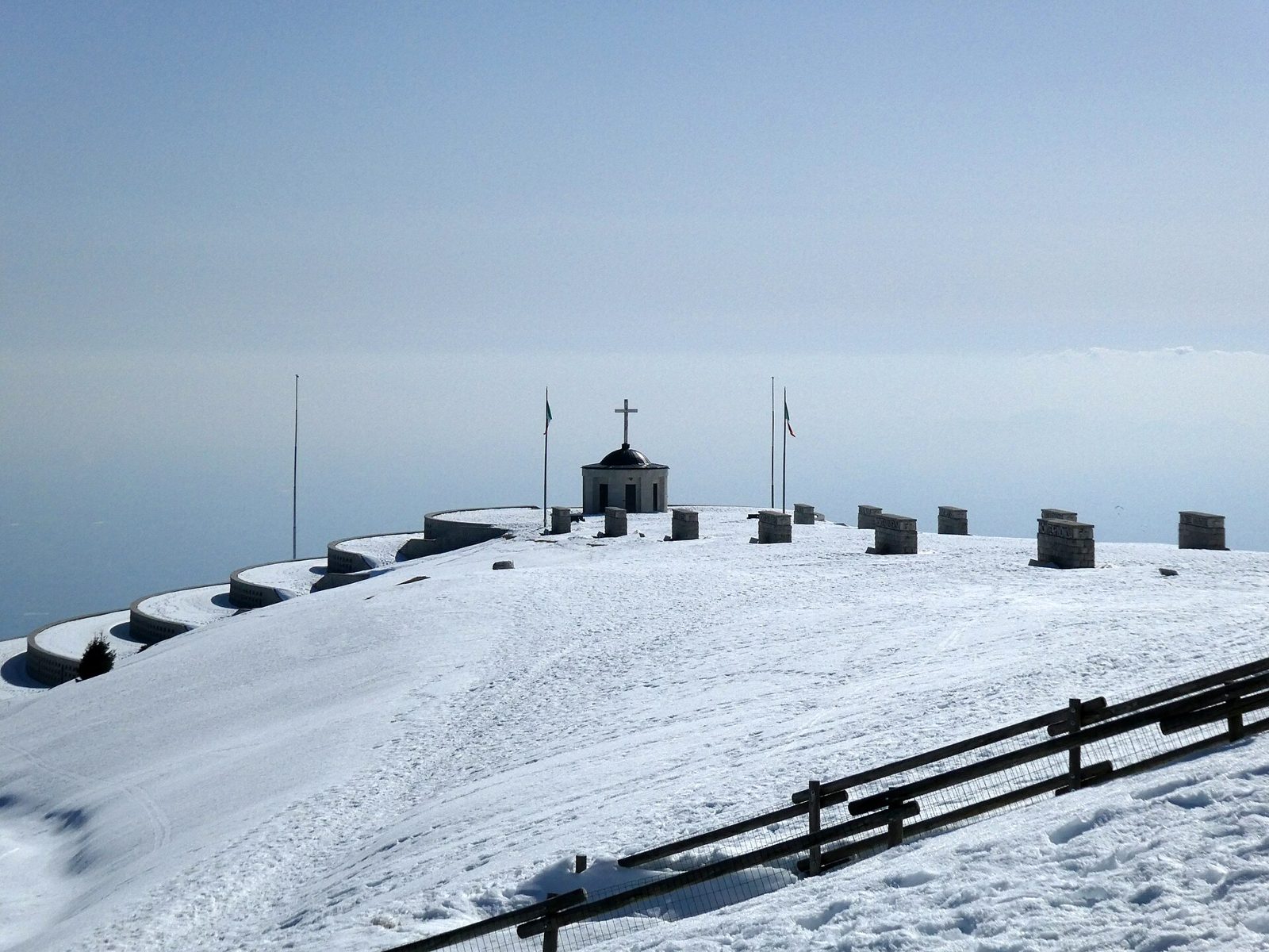

February, and a week of snowfall has just ended on Monte Grappa. The massif rises straight out of the Venetian plain, between the Brenta and the Piave, and on a clear winter day its summit is one of the best balconies in the Prealps: the plain and the lagoon of Venice on one side, the Dolomites on the other.
In summer the top is busy with cars, bikes and visitors to the First World War memorial. In winter, after a good snowfall, it becomes a quiet white dome, perfect for a short snowshoe loop: about 8.5 km and two and a half hours, along the ridge to the west, down to the edge of the woods and back up to the summit.
Scroll down. The map stays next to the story and flies to each place as you read. The dashed line shows how far we have walked, and you can stop at any moment to zoom or move the map yourself: the story waits for you.
Map of the route “Pro preview: a story map of a snowshoe hike”: 8,55 km, 1.609 m of climbing and 1.600 m of descent, elevation between 1.517 m and 1.822 m, time 02:22:40. It is a loop that starts and ends at 45.87331, 11.80176 (latitude, longitude).
Moving time: 02:14:12
We start from the car park just below the summit, at about 1,770 m. The snow is deep and untouched, and only a few footprints lead towards the memorial. Snowshoes on, poles out, and down the ridge to the west.
The sky is clear and the plain below is covered by a sea of fog: only the hills of the Colli Euganei and the Berici come out of it, like islands. Up here it is cold but the sun is warm, and there is no wind yet.
We walk slowly. Under fresh snow the path disappears, and the GPS is useful even on such a familiar mountain.
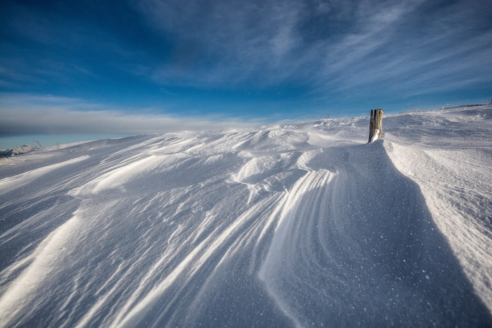
After the first kilometer the ridge opens up and the wind arrives. It has shaped the snow into waves and hard ridges, and between them the poles sink up to the handle.

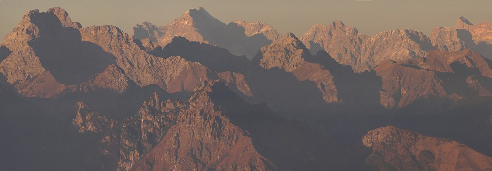
A short stop for hot tea in the shelter of a rock. To the north the view opens on the Vette Feltrine and the Pale di San Martino, bright white against the blue.

We reach the lowest point of the loop, about 250 m below the summit, at the edge of the beech wood. Out of the wind it is suddenly silent, only the snow falling from the branches.
From here the trail turns north and starts climbing again. It is the right moment for a sandwich: the hard part of the day is ahead.
The climb back is steep and slow. Snowshoes with a heel lift are made for this, but the legs feel every meter, and we take turns breaking the trail in the fresh snow.
Look at the elevation chart under the map: this is the long rise in the second half of the loop. Move the mouse over the chart and the map shows where you are.
Back on top, at the memorial. The great circular terraces are half buried in the snow, and in the silence the place feels even more solemn than in summer. Almost 23,000 soldiers of both sides of the First World War rest here.
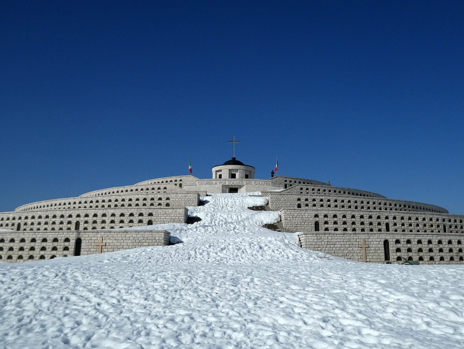

From the top of the Via Eroica the view goes all around: the fog over the plain, the Asiago plateau to the west and the Dolomites to the north.
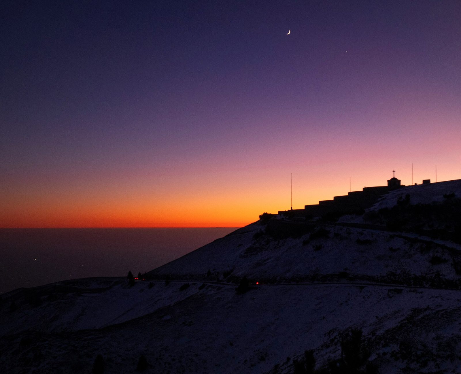
A few minutes downhill and we are back at the car: 8.5 km in less than two and a half hours. If you have time, stay for the sunset: on clear winter evenings the sky over the plain turns orange and the sea of fog glows below.

Before you go
- Distance and time: about 8.5 km, 2.5 hours with fresh snow.
- Gear: snowshoes with a heel lift, poles, warm layers, sunglasses and a thermos of tea.
- Safety: check the avalanche bulletin and the weather before you leave, and stay away from the steep slopes after heavy snowfalls. The ridge is exposed to the wind.
- Navigation: paths and signs can be buried by snow. Load the track on your phone or GPS before you leave.
How this page is made
This is a normal WordPress post. The map is the WP GPX Maps block with the story option of the Pro add-on turned on, and every place in the text is a Story Point block with a title, an icon and a position on the track.
- The map stays next to the text on large screens, and on top of it on phones.
- When a story point reaches the middle of the screen, the map flies to it and draws the way walked so far: dashed, dotted or solid, in the color you choose.
- If the reader touches the map, the story pauses, so they can explore without the map moving away.
- The waypoints of a GPX file can be imported as story points with one click, and photos and text go between them as usual.
Want to compare what the free plugin and the Pro add-on can do? See WP GPX Maps: Free vs Pro.
The photos come from Wikimedia Commons and were taken on Monte Grappa on other days. Thanks to their authors for sharing them under a free license.